Challenge Yourself
Ignite Your Future
Ignite Your Future
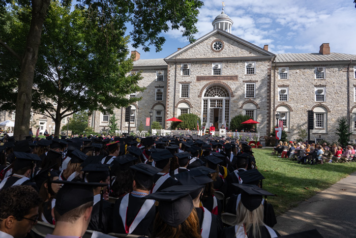
Discover where members of the class of 2024 are headed, including jobs and grad schools, as well as prestigious scholarships and honors they’ve earned.
READ MORE p
Dickinson alumni are some of the most influential thinkers, leaders, artists and innovators in the world, including Forbes Most Powerful Woman in Healthcare, the world's leading scientific mind in chemistry and nanotechnology and president and CEO of L.L. Bean. READ MORE ABOUT GRADUATE SUCCESS p

A POWERFUL NETWORK OF 30,000 ENGAGED ALUMNI