Navigating the Snow Globe

Nearly three feet of snow had to be cleared, via what President Nancy Roseman called a "heroic effort." Photo by Carl Socolow '77.
Maps created with the help of GIS interns help campus maintenance crews manage Winter Storm Jonas
For a few days there, you saw nothing but snow in your Facebook feed, and now you’ve finally dug out your car and your neighbors’ cars and shoveled a narrow trench to your front door. The whole thing was pretty rugged.
So imagine it on the scale of a college campus like Dickinson’s, which is 117 acres proper, with enough sidewalks, staircases, driveways and parking lots to accommodate a large museum. And the situation was complicated by one of the solutions: The sheer volume of snow forced Dickinson to hire outside maintenance crews who had no prior knowledge of the campus and what structures and pathways were hiding under those nearly three feet of snow.
Enter Jim Ciarrocca, Dickinson’s GIS (geographic information systems) guru, and his student interns, who created the maps as part of an ongoing project to create a complete mapping database for the entire campus.
"It got started quite a few years ago, when I couldn’t find any campus data for an assignment I was working on with my GIS class," Ciarrocca says. "From there, it’s grown to include a number of class assignments and independent study projects, as well as the work that the interns do here in the lab for supporting facilities staff."
Eric Vorodi, director of grounds & landscaping at Dickinson, and his crews use the maps year-round to manage everything from turf and trees to athletic fields and light poles.
“Jim and his students have provided several different GIS map layers to improve our efficiency and provide quantitative and qualitative data,” he says. “And most recently I’ve been able to give the maps to contractors and direct them to the exact locations I want them to work, regardless of their familiarity with campus.”
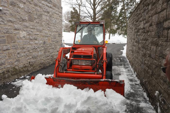
Photo by Carl Socolow '77.
The use of GIS allows spatial data to be analyzed and visualized, allowing for visual representations of numbers such as acres and elevation, often through maps. At Dickinson, the technology is used across campus and across disciplines, including for such diverse departments as environmental studies, earth science, international business & management, archaeology and biology.
The maps were put to good use last weekend to facilitate the safe and speedy removal of snow while allowing contractors to work effectively alongside Dickinson’s own maintenance teams, who went above and beyond.
“It truly was a heroic effort by many on campus, including our facilities staff,” President Nancy Roseman said in a campuswide email. “These staff members, many of whom have their own families and homes to care for, were on campus for countless hours to make sure that our students and buildings were secure and safe.”
Learn more
Published February 1, 2016